We met around noon at Jumpin' Jack's Drive-In for lunch. The restaraunt is near the bridge carrying NY 5 over the Mohawk River, and we took the first meet photo there.
Meet Tour
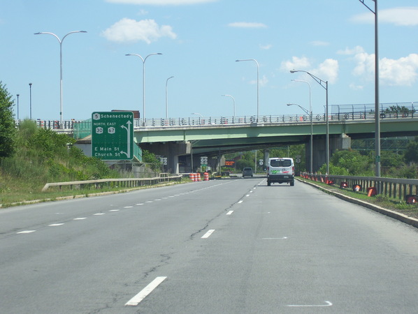
Leaving the restaraunt, we headed off to the park and ride to group into cars for the tour. We then went down I-890 to check out the construction work.
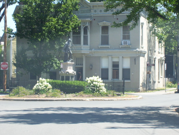
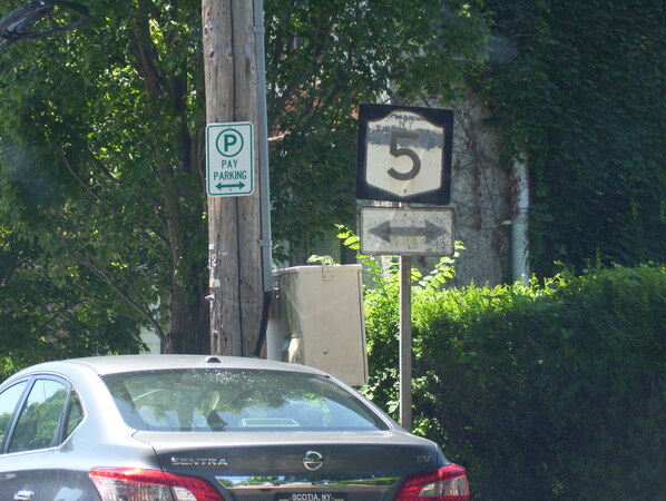
We got off at exit 4 and explored the Stockade neighborhood of Schenectady. We went around an interesting traffic circle and went past an old sign on Church Street.
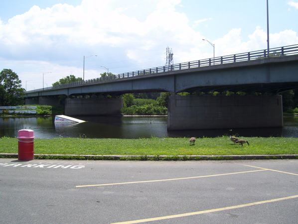
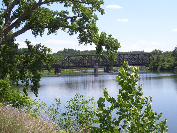
We went back down I-890 and NY 5S to NY 103 where we stopped at Lock 9 to view the bridge.

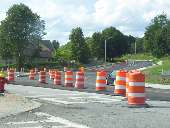
After that, we went down NY 5 to Amsterdam and drove though the construction zone, where work was being done to make the NY 5 westbound lanes two-way in preparation for closing the eastbound lanes to reconnect the waterfront. We stopped to take a closer look, however a storm went through, so we headed off to the next stop.
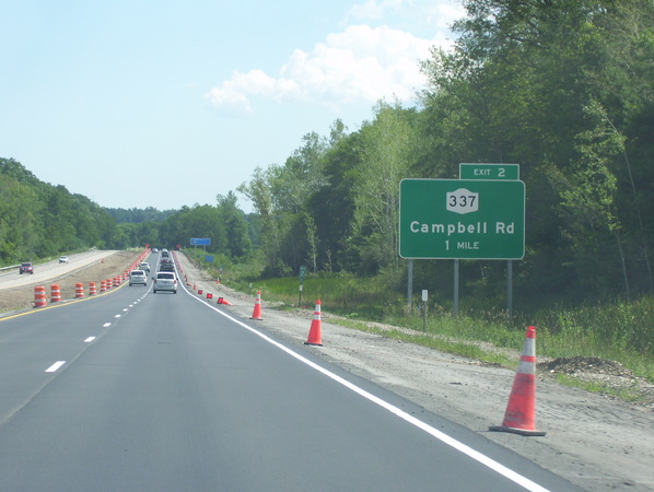
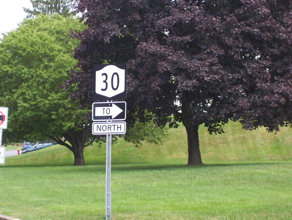
We continued down NY 5 through the westbound alignment and then took local streets to go by an interesting sign for NY 30 that had been recently installed.
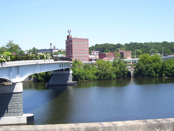
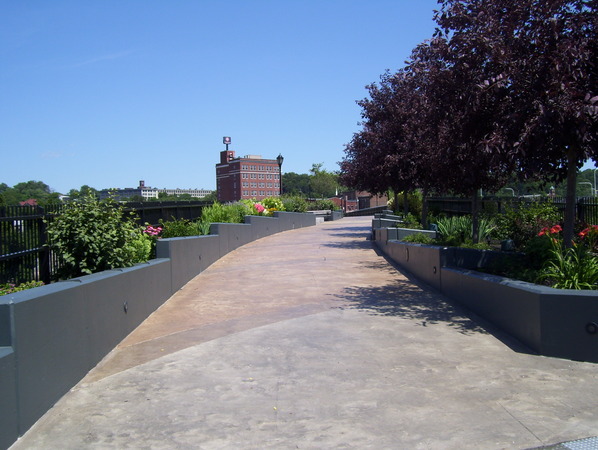
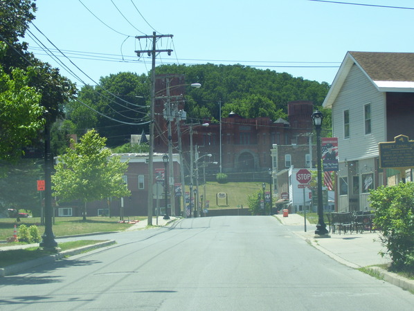
We went down NY 30 and drove the short freeway segment. We took more local streets down the hill into Amsterdam, past the Amsterdam Castle, to a pedestrian bridge over the river, which was our next stop.
We backtracked through Amsterdam past the castle again, and broke from the tour route to head back to NY 5S to take a beverage and comfort break at Stewart's Shops.
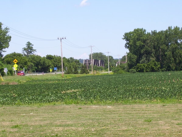
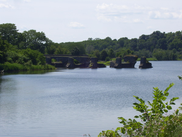
We then went down NY 5S past the bridges over Schoharie Creek. The southern bridge was the original bridge for NY 5S, and the northern bridge once carried a railroad. When the Thruway bridge collapsed in April 1987, NY 5S was temporarily placed on the northern bridge so the Thruway could use the NY 5S bridge. Afterwards, NY 5S was routed back, and the northern bridge eventually carried the Erie Canal trail. Around 2014, the northern bridge was rehabilitated to carry NY 5S, and NY 5S swapped bridges with the trail. We stopped at Karen's Produce and Ice Cream for an ice cream break and to view the bridges.
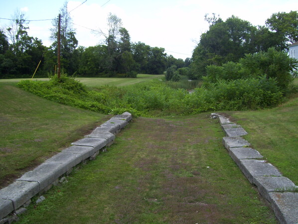
We then drove into Fort Hunter to Schoharie Crossing State Historic Site to view the bridges from another angle, the remains of the aqueduct carrying the canal over Schoharie Creek, and a historic canal lock.
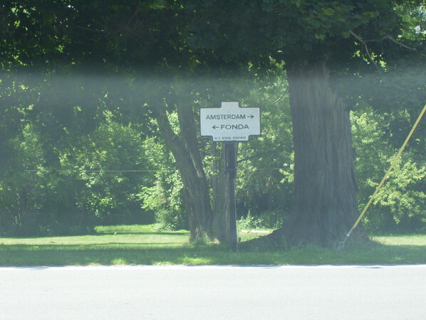
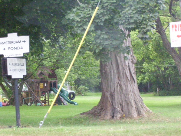
We drove from Schoharie Crossing back across the canal to view some historic signs near Tribes Hill.
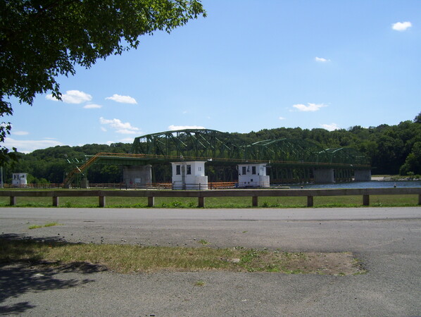
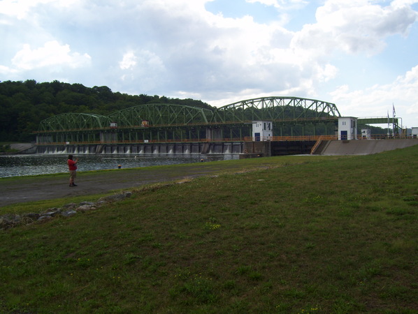
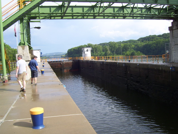
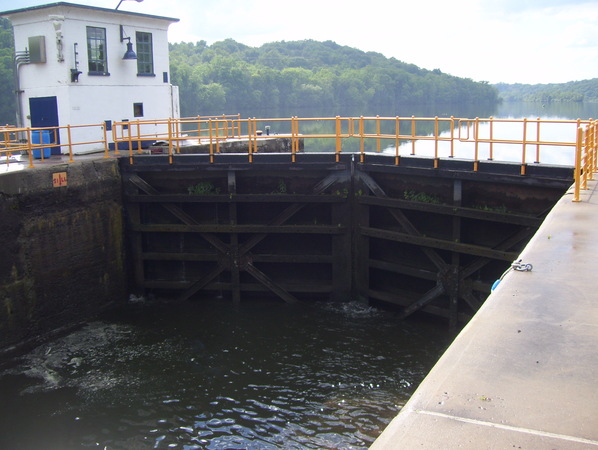
We then went back to NY 5 and drove back into Amsterdam to Lock 11 to view the structure holding the movable dam that is used to control the water level.
We then went back down NY 5 and drove the eastbound alignment through Amsterdam. Meet attendees then took NY 5 and/or NY 5S back to the park and ride.