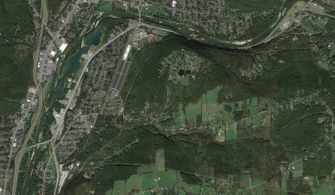
Despite being a more rural area, New York's Southern Tier has a rich history of freeway evolution. In addition to the I-86 upgrade and the I-99 upgrade, the freeway systems around Binghamton and Corning have evolved over the years.
The images below have been obtained from the U.S. Geological Survey (USGS) Eros Archive and Google Earth.
Contents
Interstate 86/NY 17
The Corning Bypass was one of the last sections of the Southern Tier Expressway to be opened. The freeway from NY 414 to East Corning opened in 1984 and 1985, and the western portion of the Corning Bypass was not completed until 1995. The images above are from 1985 (top, USGS) and 2016 (bottom, Google). They also show the evolution of the interchange with US 15; more detail on that is availble on the I-99 upgrade article.
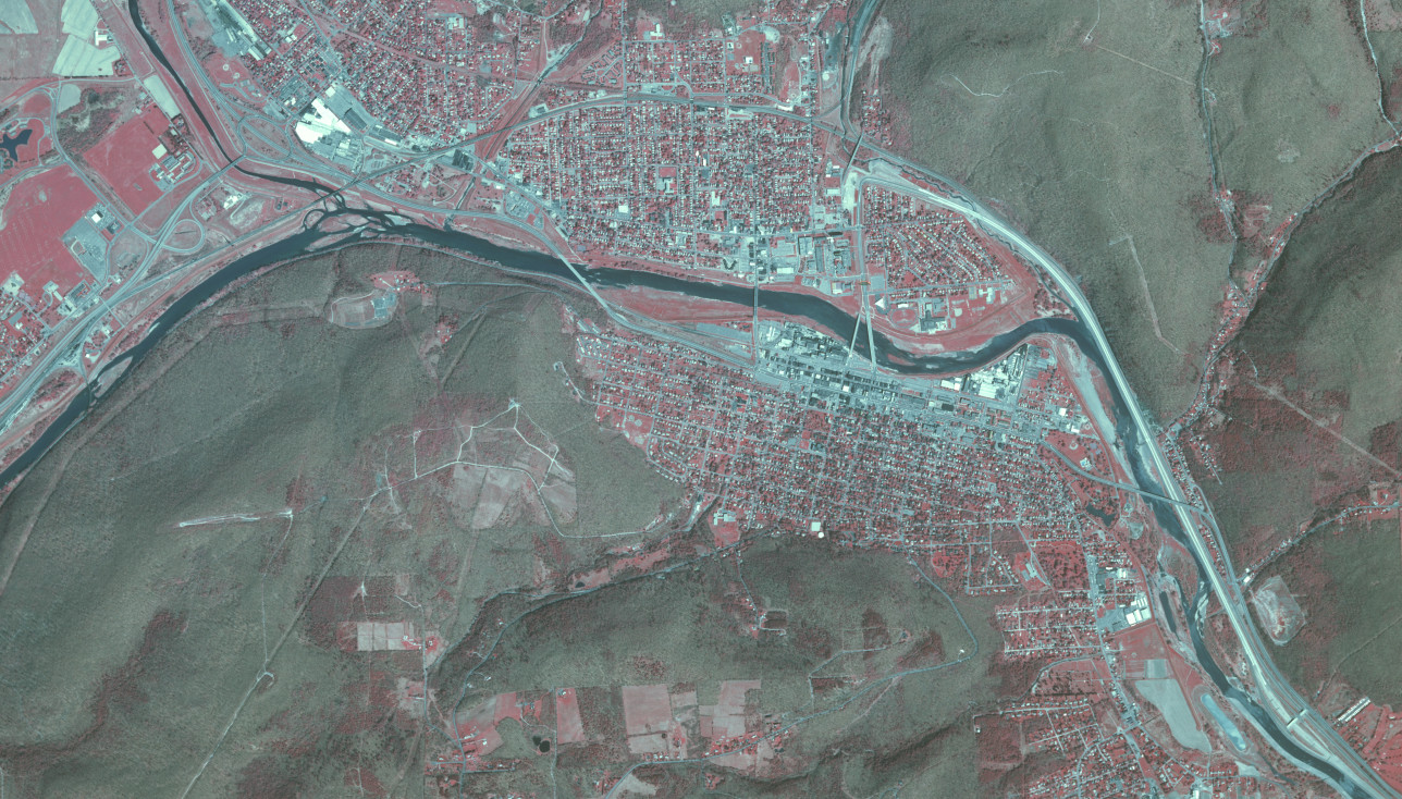
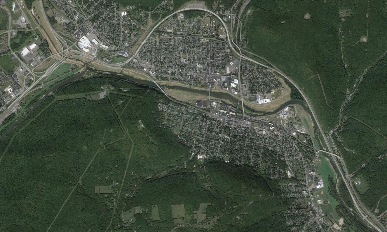
Prior to the opening of the the eastern portion of the Corning Bypass, the Southern Tier Expressway fed into the old route of NY 17 through Corning in East Corning, modern NY 352. The images above are from 1977 (top, USGS) and 2016 (bottom, Google).
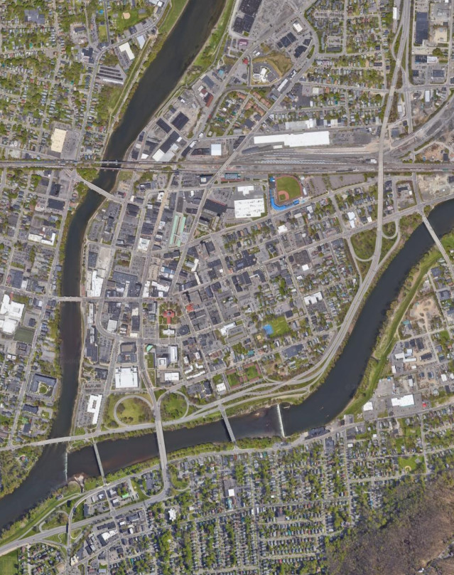
Interstate 88

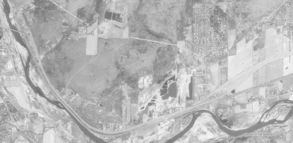
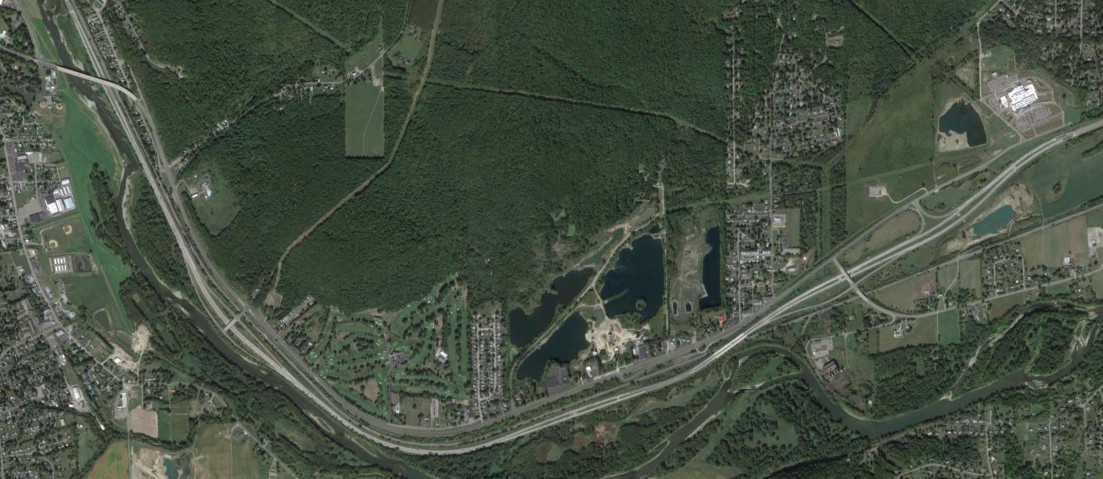
The connection with I-81 was the last section of I-88 to be built and did not open until 1988. Prior to then, traffic had to use NY 12A or NY 7 to make the connection. The images above are from 1974 (top, USGS) and 2017 (bottom, Google).
NY 201
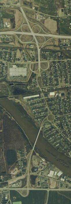
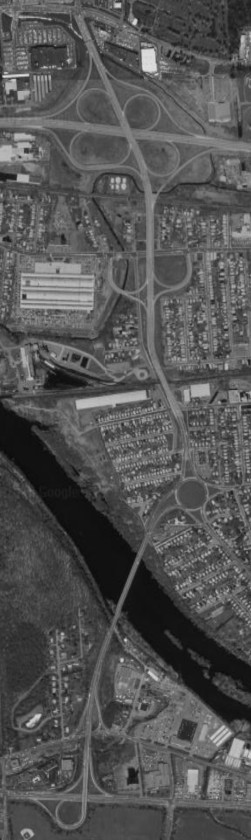
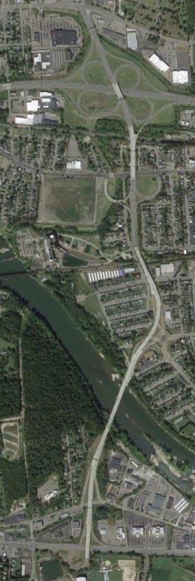
NY 201 originally had a traffic circle and at-grade intersections in Johnson City. The traffic circle was converted to a roundabout in 2004 and a flyover built to complete the freeway in 2005. The images above are from 1974 (top, USGS), 1994 (middle, Google/U.S. Geological Survey), and 2017 (bottom, Google).
NY 363
The NY 363 freeway is part of Brandywine Highway, the rest of which carries NY 7 north to I-88. The southern end of the freeway could potentially be reconfigured into a boulevard. The image above is from 2022 (Google).